airboats used to satellite-map agriculture
published 03 October 2011
by Michael McCord
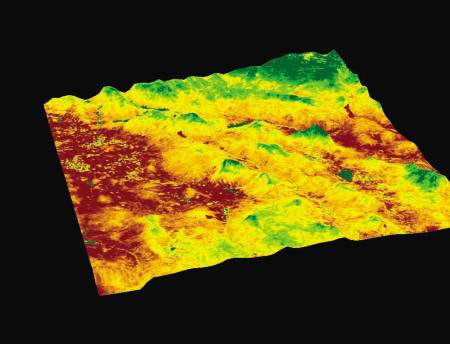
DURHAM — A government grant will help a privately held Durham, New Hampshire, company develop a satellite-based mapping system to help determine best land use and conservation practices for farmers.
Applied Geosolutions LLC was awarded the $460,000 competitive grant through the Department of Agriculture’s Small Business Innovation Research program. William Salas, the company’s chief scientist and president, said the grant will lead to a mapping system that will be more precise and replace the expensive walk-the-land process currently in place for agricultural management.
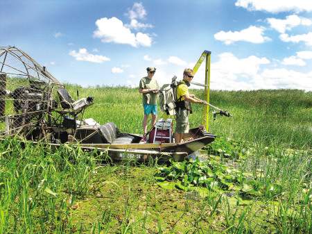
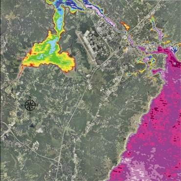
- A portable spectroradiometer instrument onboard an airboat is being used to calibrate spaceborne satellites to assess invasive species and cyanobacteria blooms in aquatic ecosystems. AGS uses this innovative technology to develop the scientific algorithms to generate useful information that will be available to the public, research organizations, and public health agencies.
“The USDA spends a ton on ground field surveys, and they can only cover a limited area on the ground,” said Salas, who formed AGS in 2000. The new satellite-mapping system will be designed to help farmers better understand and use conservation practices — and help organizations and governments understand which conservation programs are most effective.
Salas said AGS, which now has seven full-time employees who work on a global range of projects, offers scientifically sound cutting-edge geo-spatial technologies, biogeochemical models and integrated spatial information services. The cutting-edge sensing technologies are used to create greenhouse gas emission inventories, greenhouse gas emission mitigation studies, and water and air quality impacts of agricultural and forestry management.
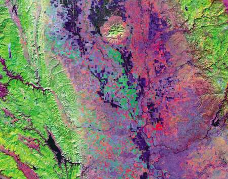
- AGS carries out several precision agriculture projects such as combining Landsat TM color infrared imagery that captures rice paddy conditions and tillage patterns with processed-based models to forecast crop yield, plan for water resources, and maximize economic productivity. The information generated is used by farmers, industry, and agencies to effectively management crop lands.
Prior to starting AGS, Salas worked for five years at NASA’s Jet Propulsion Laboratory and for 10 years at Complex Systems Research Center at the University of New Hampshire. At the Jet Propulsion Laboratory, Salas was part of the team that mapped Venus using radar technology on the spaceship Magellan from 1990 to 1994.
The SBIR grant is the latest for AGS and the company said they have proven effective in developing innovative technologies. “The program has been absolutely critical to the growth of our business, as each award has blossomed into a sustainable business line,” said Stephen Hagen, a research scientist at the firm.
Salas said an earlier SBIR grant led to AGS creating an environmental and weather data tracking program for the National Institute of Health to do risk management assessments for increases in chronic illnesses such as asthma. “I would say the SBIR grants have been very useful to help us grow from a sole proprietorship to seven full-time employees,” Salas said. “It’s not free money. It’s a very competitive and fully reviewed process that promotes the development of new, innovative technologies that otherwise would not be possible for a wide range of individuals and companies.”
It’s possible that AGS could be one of the last companies to get an SBIR grant. Despite bipartisan support, Congress has failed to pass a long-term authorization of the program and it has been operating under short-term extensions since 2008. The program’s most recent extension was set to expire Sept. 30.
Sen. Jeanne Shaheen, D-N.H., is a leading SBIR advocate, and she said the lack of full SBIR authorization has made it difficult for small businesses such as AGS and federal agencies to engage in long-term planning. “By supporting innovation and entrepreneurship, SBIR awards like these help our small businesses create jobs, and they help our country compete in the global economy,” Shaheen said last month. “In these difficult economic times, I strongly urge Congress to pass a long-term SBIR authorization so that small companies can continue to take advantage of this critical program.”
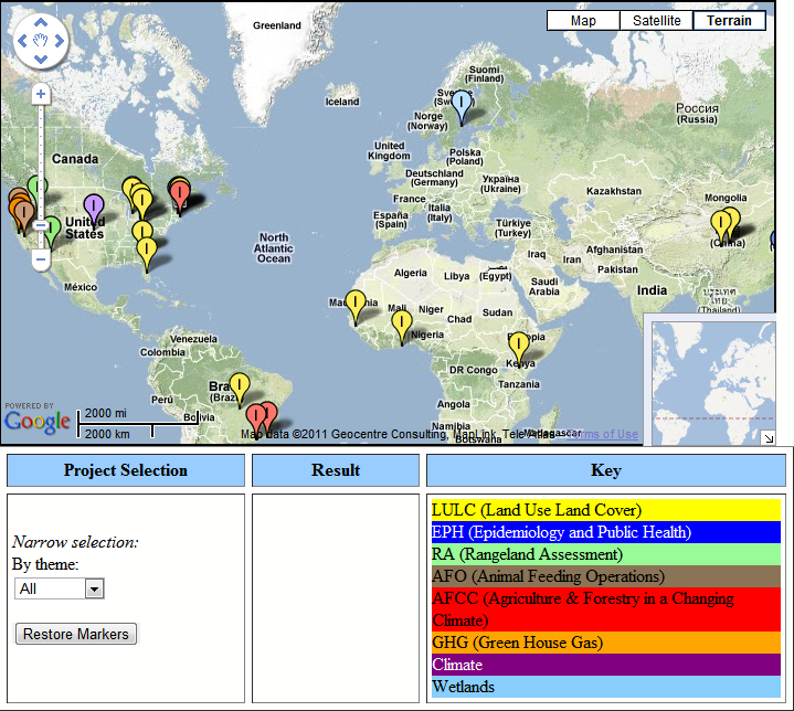
Salas said AGS has seen significant growth in the past few years. It gets most of its funding for its work with a number of different types of private and public agencies on the federal, state and local levels. It recently completed a water quality and water management project for the California Rice Commission, which represents more than 2,500 rice producers in the state; collaborated on studies with the dairy and swine industries; worked with the government of the West African country of Guinea on deforestation issues; and with the University of New Hampshire on mapping urban sprawl to better understand transportation, job growth, environmental, and socioeconomic trends.
Salas said the company grew fairly slowly its first eight years but in the past two years it has expanded rapidly to meet demand, doubling its staff and revenues to more than $1 million.
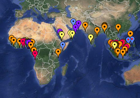
AGS Projects Map

